Glacier Peak is the most remote peak we climb in the Cascade Range. No road penetrates within eight miles of the mountain and many approach hikes are more than 10 miles long. The fall floods of 2003 destroyed many road and trail bridges in the Glacier Peak Wilderness, and many have not yet been rebuilt. At present, the Cool Glacier route, once considered long, has become the most accessible route.
Activity Notes
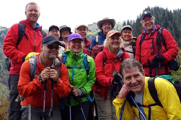
Thank you BCEP 2024 assistants for all of your help this year! We could not have done it without you, and we really mean that. The skills you teach are really the bread and butter learning for the students, and your knowledge you have imparted to the student's is invaluable. This Glacier Peak climb is my thank you to you all for your dedication and support to the Mazamas and the graduating BCEP class of 2024.
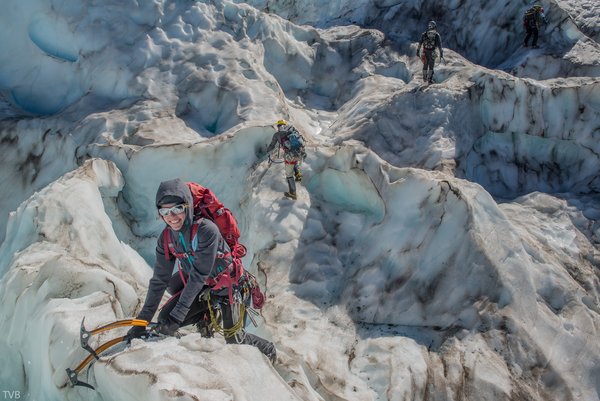
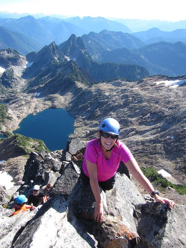
Glacier Peak is one of the crown achievements of PNW mountaineering, mainly due to the remoteness of the climb. It is a 35+ mile climb, with nearly 11,000ft of gain and loss over the course of 3 days. This will be a 4-day long climb (I include driving time from Portland in this estimation). We will leave Portland very early Saturday morning and meet at the North Fork Sauk trailhead at 11am. We will review our backpacks and group gear together and repack as a team, then head out for for our Campsite at White Pass about 8.2mi in. The first day s the toughest day by far. Second day we will head up to Glacier Gap high camp and also inspect the route for the following summit day. Third day will be a very early morning rise as we make our summit bid. Cool Glacier has some of the most epic crevasse crossings you will see. We will time it so we cross the crevasses, make our summit, and descend past the crevasses again before the sun warms up the snow. We will pack up high camp and descend back down the White pass again for our third overnight. This will be the longest day. Fourth day we will head out and into town for breakfast together to celebrate!
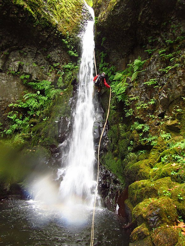
This is a technical glacier travel route, so you will need an ice axe, helmet, harness, crampons, and your rope team glacier travel/crevasse rescue gear. The terrain will be mellow enough that rappels and fixed lines won't be necessary.
NW Forest Permits required at the Trailhead.
Carpooling Sheet: https://docs.google.com/spreadsheets/d/1_XbDR-5Rni42fupxs21c2Plmq0bwPFh7XhU2C7xE5U4/edit#gid=930227245
NOAA weather: https://forecast.weather.gov/MapClick.php?lon=-121.11412&lat=48.111844
| Other Information | |
|---|---|
| Driving Distance from Portland | 270 miles |
| Driving Time from Portland | 5 hours |
| General Route Info | Mt. Baker-Snoqualmie National Forest, Darrington Ranger District Office 360-436-1155 Summitpost https://www.summitpost.org/white-chuck-gerdine-cool-glaciers/166764 |
| Expected Duration | Car to car in two or more days |
| Interesting Features | Glacier(s) |
| Relevant Books | Selected Climbs in the Cascades, Vol.II by Nelson and Potterfield Cascade Alpine Guide: Stevens Pass to Rainy Pass by Fred Beckey Summit Guide to the Cascade Volcanoes by Jeff Smoot |
| Relevant Maps | Glacier Peak, USGS 7 minute series Green Trails, #112 (Glacier Peak) Google map https://goo.gl/maps/5Qj7vVNuanK2 Some nice GPS tracks and topo maps by Karl Helser: karl-helser.com |
| Awards Qualified | 16 Major NW Peaks |
| Useful Links | GPS Track GPS Coordinates Map |