Home of majestic mountain goats and ravenous chipmunks, Mt Ellinor is an easier, lower elevation peak with modest elevation gain. A good beginner climb, with a bit of snow and some rock scrambling. It's in the Olympic range near Puget Sound.
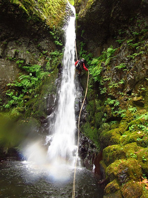
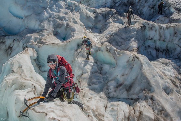
This peak is it fairly easy car to car in a day outing, and it's relatively close to Portland. The route ascends moderate snow slopes, which can be a nice glissade back down in early season. An excellent trip for beginning climbers to work on your snow technique.
Activity Notes
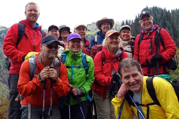
Let's enjoy a one day climb up Mt Ellinor! This will be a recent BCEP student preference climb with additional preference given to active Mazamas volunteers.
Please note the elevation gain listed on the prospectus is incorrect. It should say '3500 feet of gain' but this field is not editable. Aproximately 6.5 miles round trip.
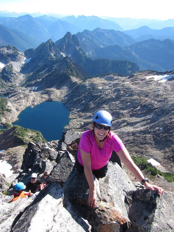
Mt Ellinor is a peak in the Olympic Mountains of Washington. It is located in an area designated as the Mt Skokomish Wilderness. Mt Ellinor is 5,952 feet and was named in 1853 by surveyor, George Davidson, after his fiance Ellinor Flauntleroy. Mt Ellinor offers a variety of views of all the major Cascade peaks, as well as close-range views of neighboring Mt. Washington, Stone, and Pershing. Mt Ellinor is an easier, lower elevation peak with moderate elevation gain. It is a good beginner climb, with snow climbing and maybe some rock scrambling.
There are two trailheads, both of which are accessed from National Forest Road 24 north of Lake Cushman. The lower trailhead lies at an elevation of 2,666 feet, and the upper trailhead at about 3,400 feet.
You need to be at the lower trailhead at 6 am May 31 (Friday). If the upper trailhead opens before our climb, participants will be notified to meet there. The upper trailhead needs a NW Forest Pass.
Climbers can either leave Portland very early (3+ hour drive) (NOT recommended) or come up the night before. A climb team member will drive up early May 30th to grab a couple of campsites (first come first serve) at Big Creek Campground if anyone is interested in camping the night before.
As we climb, the route will cross a junction where the route splits with two options: the Summer Route or the Winter (chute) Route. When we reach the junction where the two routes split, it is probable we will try to summit via the Winter Route. This is of course contingent on snow levels, snow conditions and everyone on the team being open to it.
| Other Information | |
|---|---|
| Driving Distance from Portland | 165 miles |
| Driving Time from Portland | 4 hours |
| General Route Info | summitpost: https://www.summitpost.org/mt-ellinor/151552 peakbagger: http://www.peakbagger.com/peak.aspx?pid=1049 Olympic NF, Hood Canal Ranger District 360-877-5254 |
| Expected Duration | Car to car in one day |
| Interesting Features | Lake(s), Mountain Views |
| Relevant Books | Climbers Guide to the Olympic Mountains (3rd Edition) 75 Scrambles in Washington by Peggy Goldman |
| Relevant Maps | Olympic Custom Correct: Mt. Skokomish-Lake Cushman Green Trails: The Brothers Google map https://goo.gl/maps/gPvTv2bFynx |
| Useful Links | GPS Track GPS Coordinates Map |