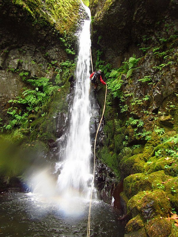
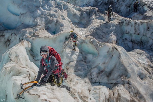

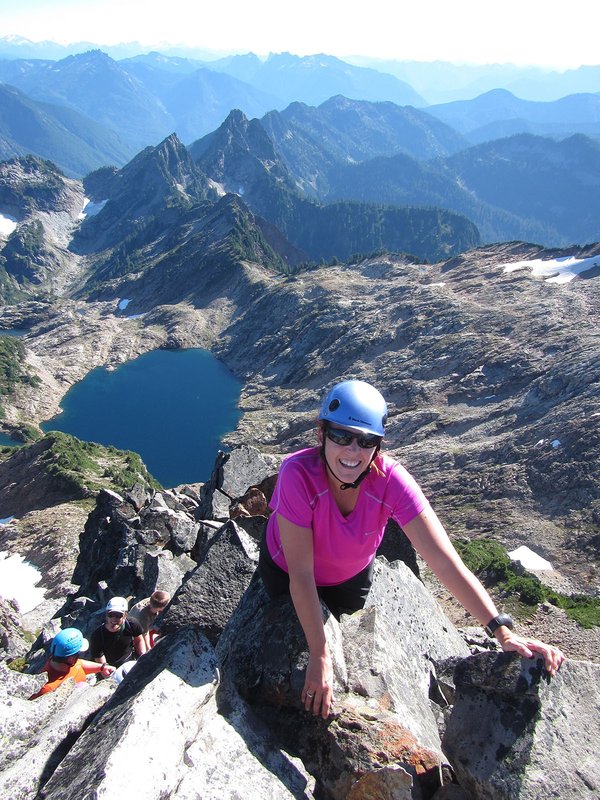
Mt. Jefferson is the second highest mountain in Oregon, and a notch up in difficulty and commitment than the South side of Hood. The South Ridge is the easiest route, mostly a long ridge of class 3 scrambling. But do not underestimate this route. The last 200 vertical feet are kinda tricky! This route has a long fixed line traverse of an exposed 50+ degree snow field, (very loose scree/rock in late season) followed by a 4th class scramble to the single rock block of the summit. Long days and unexpected bivies are common on this peak. In a big group, 4 ropes and a lot of pickets are a good idea, 3 to fix the traverse and one for the summit block.
This is a limited use area, you will need a permit.
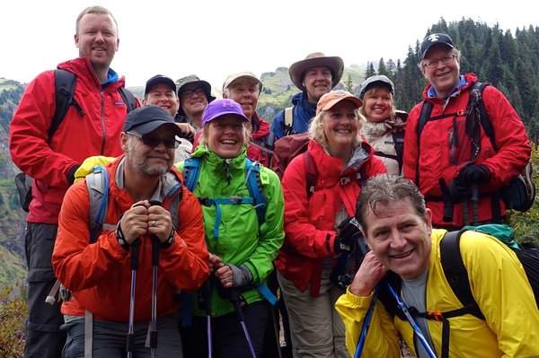
Activity Notes
We'll plan to hike up past Pamelia Lake and bushwhack up to a camp on the South Ridge. This plan depends on snow levels but the effort should make for a shorter summit day. The alternative is to camp at Shale Lake. We'll start very early the next morning and gain the long South Ridge to the Red Saddle where we'll protect the steep snow traverse and 4th class summit pinnacle. We'll camp one more night and hike out the third day.
I have a permit for two nights.
| Other Information | |
|---|---|
| Driving Distance from Portland | 120 miles |
| Driving Time from Portland | 2 hours |
| General Route Info | SummitPost.org; MountainForecast.org; Willamette Nat. Forest, Detroit Ranger District: 503-854-3366 |
| Expected Duration | Car to car in two or more days |
| Interesting Features | Spectacular Views |
| Relevant Books | Oregon High by Jeff Thomas |
| Relevant Maps | USGS 7 minute series, Mt. Jefferson, and Geo-Graphics Mt, Jefferson Google map https://goo.gl/maps/pqJxBofhaCQ2 |
| Awards Qualified | 16 Major NW Peaks, Seven Oregon Cascades Peaks |
| Useful Links | GPS Track GPS Coordinates Map |