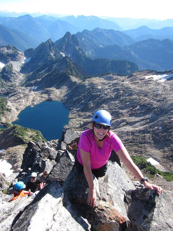
The Mazama Glacier route is a less crowded and slightly more technical (crevasses present) route than the standard South Side of Adams. Be careful if you glissade - a twisted ankle here is a LOT more serious problem than on Hood. Rather than descending the same way you climbed, a faster (an more fun!) way down can be to glissade (carefully) the normal south side route from the false summit to about 9600 feet, traverse to the western edge of the Mazama Glacier, then descend the last 1000 feet to camp.
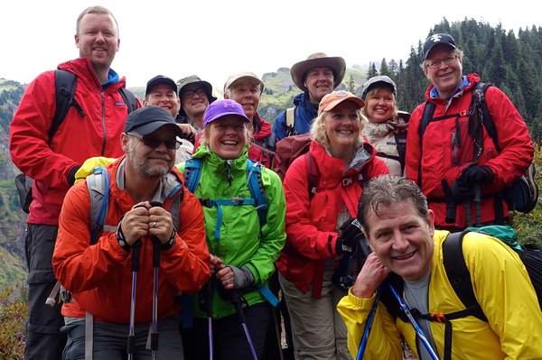
Activity Notes
Note: it is currently unclear as to whether the Yakima Nation will allow access during the planned dates of this climb. As such, the dates or the route may have to change. I'm attempting communication with them, so stay tuned.
The basic plan is to follow the winter route from Cold Springs part way up the mountain, and then traverse around and over to Sunrise camp at the base of the glacier for the night. The next morning we will climb the glacier (while carrying camp too, i.e. good fitness is required), drop off camp at 11,000' or so, summit and then descend via the south side route back to Cold Springs.<br>
| Other Information | |
|---|---|
| Driving Distance from Portland | 100 miles |
| Driving Time from Portland | 2 hours |
| Expected Duration | Car to car in two or more days |
| Interesting Features | Glacier(s), Mountain Views |
| Relevant Books | Climbers Guide to the Cascade Volcanoes by Jeff Smoot Selected Climbs in the North Cascades by Nelson and Potterfield Cascade Alpine Guide: Columbia River to Stevens Pass by Fred Beckey |
| Relevant Maps | USGS 7.5 minute series, Mt. Adams West and Mt. Adams East USDA Forest Service Mt. Adams Wilderness map Google map https://www.google.com/maps/@46.199593,-121.4982232,14.33z/data=!5m1!1e4 |
| Awards Qualified | 16 Major NW Peaks, Guardian Peaks |
| Useful Links | GPS Track GPS Coordinates Map |