


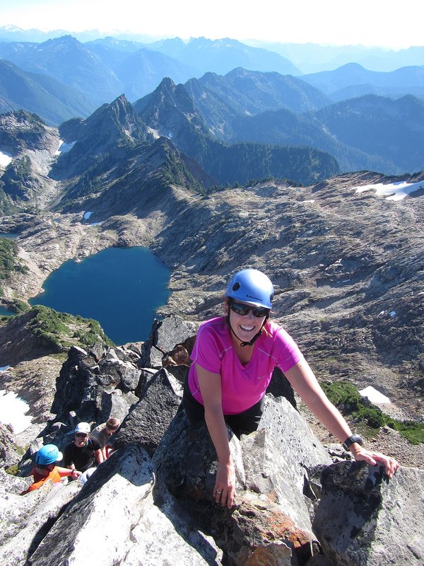
Mt. Pugh offers an easy ascent to a high vantage point - this is a popular "scramble" peak. The summit affords a bird's eye view of nearby White Horse Mountain, Three Fingers, Sloan, and Whitechuck. A summit lookout is no longer in existence, but the fine view remains. Most of the route is on a trail. Note that some maps refer to this peak as Pugh Mountain.
Activity Notes
Mt Pugh, whose trailhead is off a one-lane road at the east end of Washington's Mountain Loop Highway, is a long day climb of 11 miles and 5,175' (just under a mile of elevation). A very nice trail eventually leads to a fun scramble. My previous visits have been later in the season. I added ice axe and crampons to the gear list, but we may opt to leave them home, depending on what reports I can find of snow on the route.
Our travel route takes us through Seattle both ways. I have reserved two sites at Bedal Campground, the closest campground to our trailhead, for Fri and Sat nights. I'll seek $20.75 via Venmo from folks camping with us.
| Other Information | |
|---|---|
| Driving Distance from Portland | 260 miles |
| Driving Time from Portland | 6 hours |
| Expected Duration | Car to car in two or more days |
| Relevant Books | Climbing Washington's Mountains by Jeff Smoot Cascade Alpine Guide: Stevens Pass to Rainy Pass by Fred Beckey 75 Scrambles in Washington by Peggy Goldman |
| Relevant Maps | USGS 7 minute series, Pugh Mountain and White Chuck Mountain, Green Trails #111, Sloan Peak <href="http: maps.google.com="" maps?f="q&source=s_q&hl=en&geocode=&q=Mt.+Pugh&sll=37.0625,-95.677068&sspn=40.732051,93.164063&ie=UTF8&ll=48.143153,-121.374292&spn=0.016809,0.04549&t=p&z=15&iwloc=addr"" title="Google map">Google map</href="http:> |