
Unicorn Peak, the highest point in the Tatoosh Range on the southern end of Mt. Rain-Here National Park, is a fine choice for an easy snow-rock climb. "A good early season ascent", says Beckey. If you try it in late season, most or all of the snow will be gone and the pitch or two of 35-40 degree snow will not be an issue - but the tedious scree will be exposed.
Along with a park entrance fee, all of the Tatoosh peaks offer spectacular views of Mt. Rainier - on clear days. If you are a backcountry skier or boarder, bring your toys if you try this climb in early season (before mid June) - the bowls west of the main peak are beautiful. Climb the summit pinnacle on the east side, which is around to the right (counterclockwise) from where you approach it from the south. This east side is mucho mas easier than the south side of the summit block.
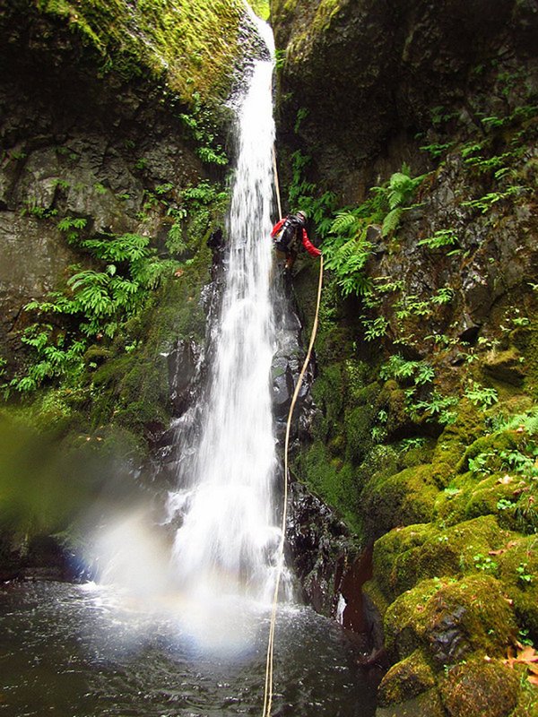
A few small cams and stoppers are a good idea to protect the short rock pitch. Rock shoes are not needed. Short rap off the top. Great glissading in early season! "Tatoosh" means 'nourishing breast " in the local native American language.
Combine with nearby yet seldom climbed Boundary Peak for a doubleheader day of peak bagging, or for a long three peak day, add Stevens Peak at the far east end of the range. Check the Tatoosh Peaks for other options for Tatoosh climbing.
Activity Notes
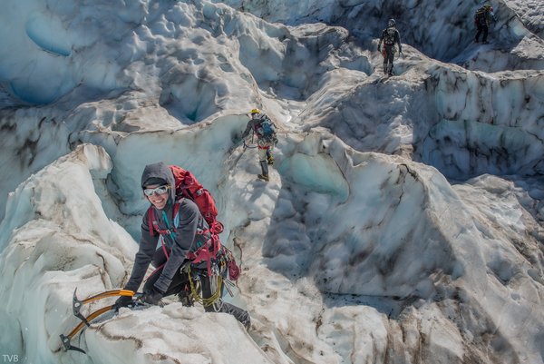
This is a fun, one-day rock and snow climb appropriate for those who have completed BCEP. The climb starts with an easy hike into Snow Lake. At the lake, we will likely put on our crampons and helmets and take out our ice axes to climb the chute. At the top of the chute, we will turn the corner and climb another snow slope of varying steepness to a notch. If we are lucky and the rock below the notch has not yet melted out, we will have an easy ascent to the notch. If the rock has melted out, we'll figure out a way to climb the rock, be it either a scramble or via use of a rope. Above the notch, we will continue uphill and then traverse to the base of the summit block.
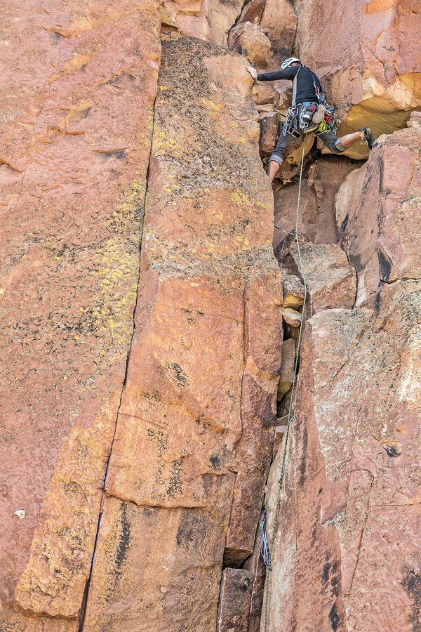
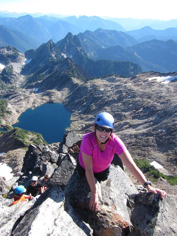
We will climb the summit block via the low-fifth class Open Books route. The rock climb will either be a fixed line and/or a belayed climb. We will rappel off the summit and then retrace our path to the trailhead. If snow conditions are appropriate, we will glissade both the upper snow slopes and the chute on the descent.
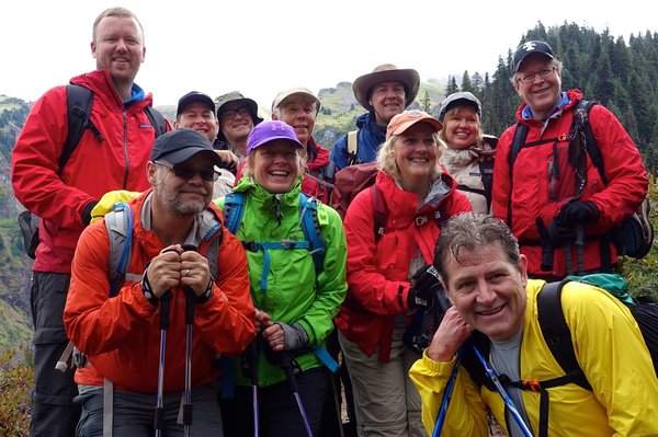
We have a group site at Rocky Point campground the night before the climb. Climb team members can camp the night before the climb or drive up early on the morning of the climb.
Costs: If you choose to camp, plan to split the cost of the campsite. Cost will depend on how many people and cars we have at the campsite. Vehicle entry into Mount Rainier National Park is $30 per car if you do not have a Mount Rainier Annual Pass or an America the Beautiful pass (i.e, National Park Pass). Note that Mt Rainier Park entrance booths and campgrounds are cashless. Timed entry permits are needed to enter the park between 7am and 3pm. You will need to enter the park before 7am.
| Other Information | |
|---|---|
| Driving Distance from Portland | 150 miles |
| Driving Time from Portland | 3 hours |
| General Route Info | The Tatoosh is a prominent subrange near Mt. Rainier National Park’s southern boundary. It’s a pretty mini-mountain range, with the world’s best view of Mt. Rainier. Unicorn, the highest and most enjoyable Tatoosh peak, offers relatively “painless” (your leader is not into pain this time of year) mixed scrambling and rock climbing in a spectacular alpine area (imagine a half-size scale model of Mt. Jefferson, close to the road). See Beckey’s Cascade Alpine Guide for more detailed look at this area’s geologic and climbing history. |
| Expected Duration | Car to car in one day |
| Interesting Features | Lake(s), Mountain Views, Spectacular Views |
| Relevant Books | Cascade Alpine Guide: Columbia River to Stevens Pass by Fred Beckey |
| Relevant Maps | Maps: USGS 7 minute series, Tatoosh Lakes and Mt. Rainier East; Green Trails: Mt. Rainier East / Packwood Google map https://www.google.com/maps/@46.744344,-121.7047081,15.14z/data=!5m1!1e4?hl=en |
| Useful Links | GPS Track GPS Coordinates Map |