
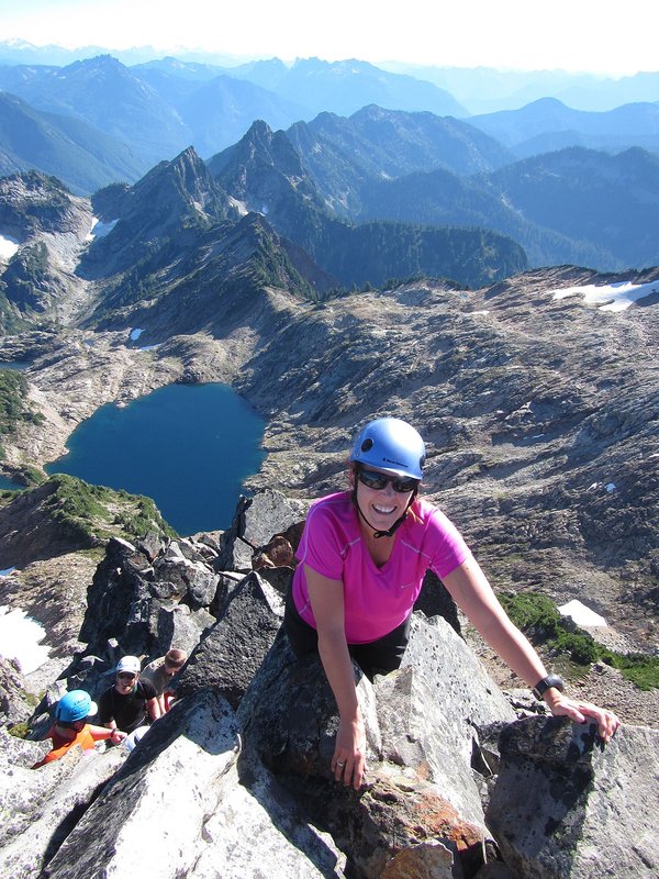
The trail heads gradually up under alders and switchbacks at a view of a rushing creek. Then the path winds up steeply on a ridge before dropping and crossing the head of a small gully. The trail rises gradually. Sword fern dominates the understory. Head up a ridge with a rushing creek to the left and then walk on the level in Douglas-fir woods. There are big stumps in these woods: the area was logged before the Tillamook Burn. The path rises gradually under alders, heads up an old road bed, and then switchbacks in an alder grove. The trail drops slightly on a road bed and passes a short cut up to the left. Wind up, with a creek on the right, and pass the 2,000’ level. The trail makes a level traverse and passes an old road bed shortcut dropping down steeply to the left. The path makes a major switchback at the Kings Mountain-Kings Mountain Junior Trail Junction. Continue on a level section past a 0.63 miles to the summit sign and then steeply up to where the gradient eases again. Keep up past the 2,500’ level sign and wind up steeply, including going up some rock “steps.” A spur leads left 60’ to a viewpoint of the west ridge. The trail keeps up steeply in mainly Douglas-fir woods and passes a picnic table. Exit the woods and pass the 3,000’ elevation sign. Rise through meadows. There’s a view of Mount Hood and Mount Adams through the trees before you reach the summit. Sign in at the summit register if you wish; the elevation, 3,226’, is posted. There is a great view overlooking the Lester Creek valley and points southwest from here.
https://www.oregonhikers.org/field_guide/Kings_Mountain_Hike
Activity Notes
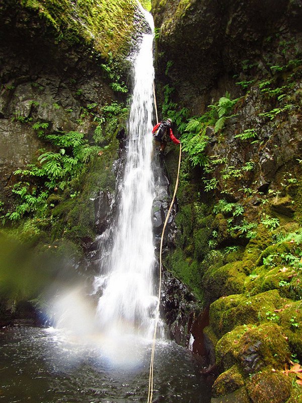
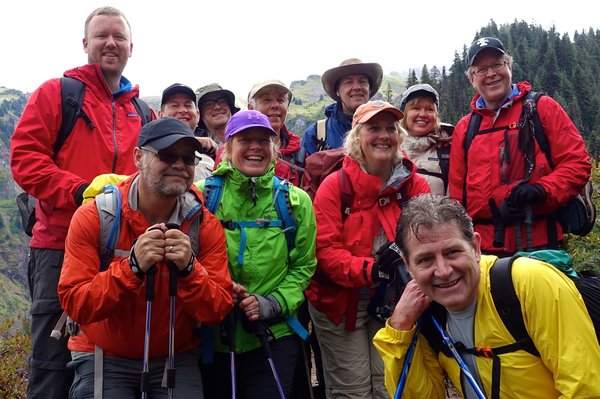
We'll hike to the summit of Kings Mountain and then descend the SW Ridge via a series of rappells for our 2nd conditioning hike.
We'll meet at the Target on 185th Ave. in Hillsboro at 6:30am, arrange carpools and drive to the Kings Mountain Trailhead. We will need to arrange carpools because of the limited space at the trailhead. We should have 30 minutes at the trailhead to prep for the hike before we start hiking at 8:00am.
Additional Links:
| Other Information | |
|---|---|
| Driving Distance from Portland | 66 miles |
| Driving Time from Portland | 1 hours |
| Distance - Round Trip | 5 miles |
| Expected Duration | Car to car in one day |
| Relevant Maps | OC-A |
| Awards Qualified | Awesome Ridges Award |